

LiDAR Data Processing
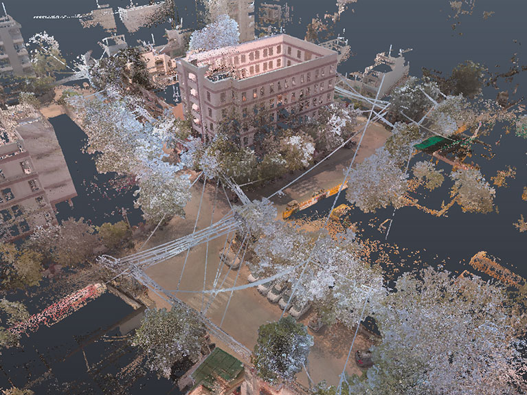
LiDAR Data Processing converts raw point cloud scans into structured, usable data
for engineering, architecture, and surveying projects.
LiDAR Point Cloud Processing & Modeling Services
Terrestrial and aerial LiDAR scanners capture millions of data points that need to be
registered, cleaned, and classified before they're usable in design or analysis
workflows.
We process raw LiDAR scan data into registered point clouds, classified datasets,
CAD drawings, and BIM models for architects, engineers, surveyors, and AEC
consultants.
Services We Provide
LiDAR Data Processing Services We Provide
Point Cloud Registration
Aligning and merging multiple LiDAR scans into a single, accurate point cloud
dataset.
Point Cloud Cleaning and Optimization
Removing noise, overlapping points, and scan artifacts to produce clean, workable
datasets.
Point Cloud Classification
Classifying LiDAR data into terrain, structures, vegetation, and utilities for analysis
and modeling.
LiDAR to CAD and BIM Conversion
Converting processed point clouds into 2D CAD drawings or LOD-compliant BIM
models for design and documentation.
Process
LiDAR Data Processing Workflow
01
Data Import
Raw LiDAR scan data is imported from terrestrial or aerial
scanners.
02
Point Cloud Registration
Individual scans are aligned and merged into a
single point cloud.
03
Cleaning and Optimization
Noise, artifacts, and redundant points are
removed from the dataset.
04
Classification
Point cloud data is classified into terrain, structures, utilities,
and vegetation.
05
CAD or BIM Conversion
Classified data is converted into CAD drawings or
BIM models as required.
06
Quality Control
Outputs are checked against the original scan data for
accuracy.
07
Project Delivery
Final deliverables are shared as point clouds, CAD drawings, or BIM models.
Applications
Industries Using LiDAR Data Processing
Our LiDAR data processing services support projects across multiple sectors.

Architecture and Construction
As-built documentation for renovation and new
construction.

Industrial Projects
Plant and facility documentation for retrofit and expansion.

Heritage Conservation
Documentation of historic structures for restoration
planning.
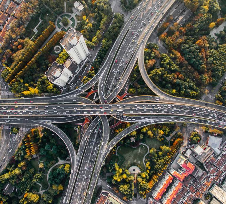
Civil and Infrastructure
Site documentation for roads, bridges, and utilities.

Surveying and Mapping
Topographic and terrain mapping for land surveys.
Outputs
LiDAR Data Processing Deliverables
Clients receive deliverables compatible with CAD, BIM, and GIS platforms.
- Registered and cleaned point cloud datasets
- Classified point cloud data
- 2D CAD drawings from LiDAR scans
- LOD-compliant BIM models
- GIS-compatible spatial datasets
Start Your LiDAR Data Processing Project
Have raw LiDAR scan data that needs processing?
Share your point cloud dataset or project scope, and our team will review it and provide a project proposal.
Headquarters
Rajkot Office
Amar Industrial Zone, Street No 1/3
Nr. Shreeji Gau Shala, B/h Tulip Party Plot
Premvati, Vavdi, Rajkot – 360004
Nr. Shreeji Gau Shala, B/h Tulip Party Plot
Premvati, Vavdi, Rajkot – 360004
India
Vadodara Office
3rd Floor, Siddharth Magnum Plus
Tarsali – Danteshwar Ring Road
Vadodara -390009
General Inquiries
© 2026 Fibrox 3D. All rights reserved. | Developed by SkyWebTech