

3D Laser Scanning Services
3D Laser Scanning digitally captures real-world assets with millimetre level accuracy. It generates a 3D point cloud — millions of measured data points that create an accurate, measurable digital replica of the physical environment in a form of point cloud data.
3D Laser Scanning Services with Millimeter-Level Accuracy
At Fibrox 3D, we provide professional 3D laser scanning services to capture existing sites in their exact as-is condition.
Our comprehensive 3D scanning services deliver coloured 3D point cloud data, 2D as-built drawings, and detailed 3D models that architects, engineers, and consultants can directly use for design, analysis, and renovation planning.
Our team deploys high-precision LiDAR scanners on site and processes the data using advanced registration software to produce accurate, reliable digital outputs.
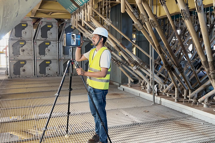
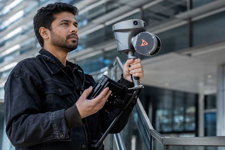
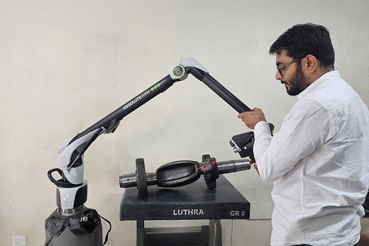
Industries Using 3D Laser Scanning
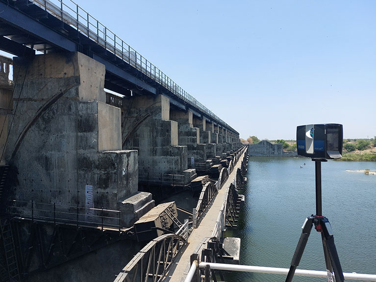
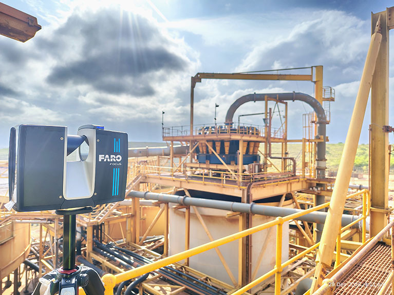
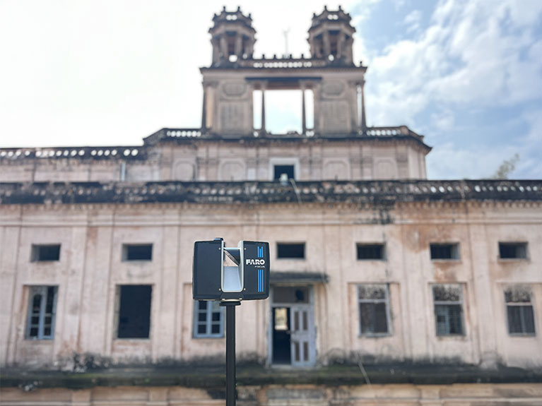
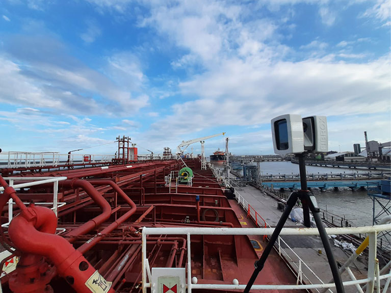
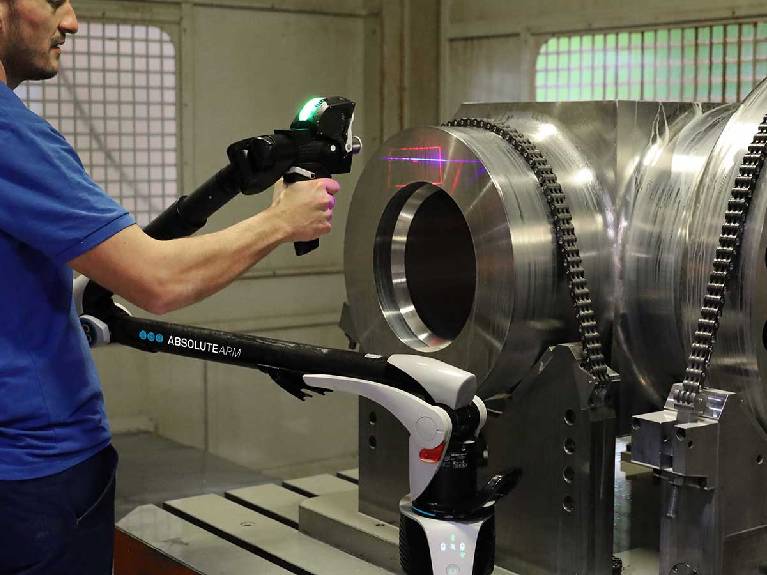
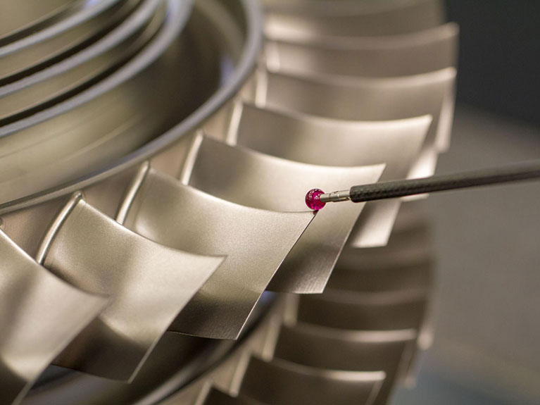
Industries We Serve
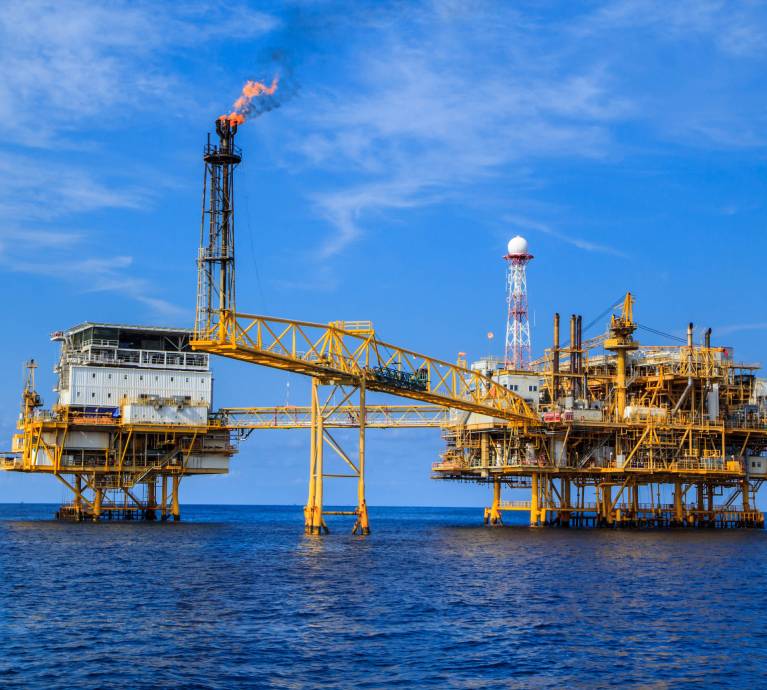
Oil & GAS
- Refineries
- Pipelines
- Storage Tanks
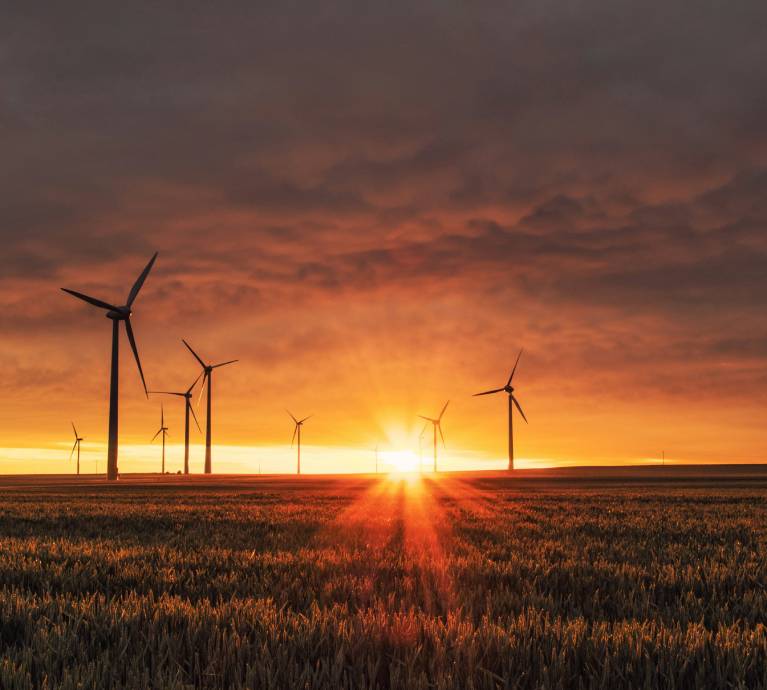
Power & Energy
- Thermal Plants
- Hydroelectric
- Solar Farms
- Substations
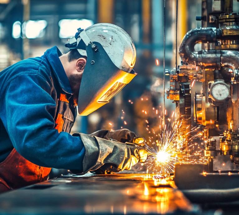
Metal & Manufacturing
- Steel Plants
- Automotive
- Factory Layouts
Infrastructure and Built Engineering
- Roads
- Bridges
- Tunnels
- Airports
- Smart Cities

Transportation, Marine and Defence
- Shipbuilding
- Railways
- Defence Facilities
How 3D Laser Scanning Drives Engineering Decisions
At Fibrox 3D, our 3D laser scanning services is not just a documentation tool – it is a foundation for technical decision-making. We capture existing conditions with measurable accuracy so engineering, design, and asset teams can work with verified data instead of assumptions.
Industrial & Process Plants
We digitally capture live and shutdown facilities to support retrofits, brownfield expansions, piping modifications, and shutdown planning — minimizing clashes, rework, and site uncertainty.
Architecture, Engineering & BIM
Our scan data forms the basis of reliable Scan-to-BIM workflows, enabling renovation design, coordination, structural validation, and constructability analysis with confidence.
Infrastructure & Transportation
Energy & Utilities
Marine & Offshore
We support shipowners and yards with precise dimensional intelligence for retrofits, equipment integration, and repair planning — where tolerance errors directly impact cost and downtime.
Construction & Real Estate
Who Relies on
3D LiDAR Scanning?
3D LiDAR scanning is used by organizations that cannot afford inaccuracies, site assumptions, or rework. It supports professionals responsible for high-value assets, complex environments, and time-critical execution.
01
Industrial & Process Engineering Leaders
02
Architectural & BIM Decision-Makers
03
Infrastructure & Transportation Authorities
04
Energy & Power Operators
Oil, gas, refinery, and power companies apply scan intelligence to support brownfield expansion, compliance documentation, inspection programs, and capital project planning.
05
Marine & Offshore Asset Owners
Our 3D Laser Scanning Workflow
01
Data Collection
02
Data Processing - Alignment & Verification
03
Engineering-Ready Model Development
04
Operational & Lifecycle Application
Why Fibrox 3D?
Measured Accuracy, Not Assumptions
We deliver scan datasets within defined millimetre-level tolerances, validated through controlled QA/QC workflows before release.
Proven Project Volume
Successfully executed 150+ vessel scans and multiple large-scale industrial, refinery, power, and infrastructure projects across India and international locations.
High-Volume Data Handling Capability
Experienced in processing and registering multi-terabyte point cloud datasets (6TB+ environments) with structured data management protocols.
Engineering-Ready Deliverables
Delivered thousands of 2D as-built drawings and coordinated 3D models supporting retrofits, shutdown planning, brownfield expansions, and asset documentation.
Scalable Deployment Capacity
Capable of mobilizing teams for confined equipment rooms, live industrial plants, heritage sites, and geographically distributed facilities spanning hundreds of kilometres.
10+ Years of Consistent Execution
A decade of hands-on project delivery across marine, oil & gas, power, infrastructure, hospitality, and heritage sectors — operating as a technical execution partner, not a survey subcontractor.
Frequently Asked Questions
3D laser scanning services capture real-world structures and environments as precise spatial data, creating point clouds for measurement, documentation, engineering, and 3D modelling.
3D laser scanning can achieve millimetre-level accuracy depending on equipment, site conditions, scanning methods, registration quality, and project-specific measurement tolerances.
Fibrox 3D provides coloured 3D point clouds, 2D as-built drawings, and detailed 3D models tailored to architectural, industrial, and engineering project requirements.
Industries benefiting from 3D laser scanning include oil and gas, power, manufacturing, infrastructure, construction, marine, transportation, and heritage conservation.
Yes, 3D laser scanning captures existing piping, equipment, and structures to support brownfield expansions, retrofits, shutdown planning, clash detection, and engineering coordination.
A 3D point cloud is a collection of measured spatial points representing the surfaces and geometry of physical environments, structures, and industrial assets.
The process involves on-site data collection, scan registration and verification, point cloud processing, and developing engineering-ready drawings or 3D models according to project requirements.
Yes, registered point cloud data provides an accurate existing-condition reference for developing BIM models that support renovation, coordination, design, and construction planning.
3D laser scanning provides verified existing-condition data, helping engineering teams identify spatial conflicts, plan modifications accurately, and reduce design errors and costly site rework.
Yes, Fibrox 3D has experience with large industrial facilities, multi-terabyte point cloud datasets, vessel scanning, and projects across India and international locations.
Ready to Digitize Your Asset?
Contact us today for a consultation and quote for your laser scanning project.
Headquarters
Rajkot Office
Nr. Shreeji Gau Shala, B/h Tulip Party Plot
Premvati, Vavdi, Rajkot – 360004
India
Vadodara Office
3rd Floor, Siddharth Magnum Plus
Tarsali – Danteshwar Ring Road
Vadodara -390009
General Inquiries
© 2026 Fibrox 3D. All rights reserved. | Developed by SkyWebTech