3D Laser Scanning For Infrastructure
High-Precision Reality Capture for Roads, Railways, Bridges, and Utilities
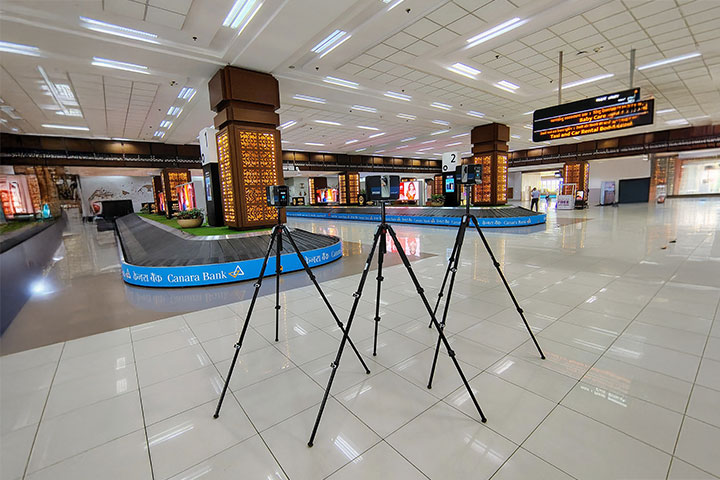
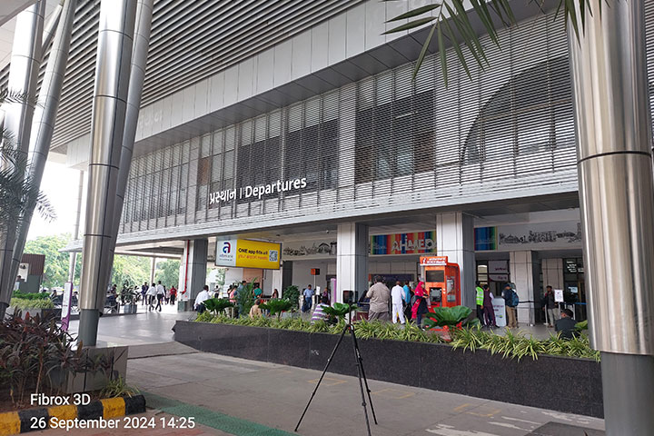
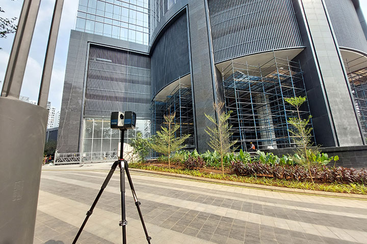
Infrastructure Laser Scanning Services
We provide 3D laser scanning services for infrastructure projects to capture accurate, real-world site conditions across large-scale and complex environments. Using advanced LiDAR technology, we generate high-density point cloud data for roads, highways, railways, bridges, tunnels, and utility networks—supporting planning, design, and asset management.
Our infrastructure scanning services enable reliable data capture for projects requiring high accuracy over long distances and complex geometries. The scan data integrates seamlessly with workflows such as Scan to BIM, Scan to CAD, corridor modelling, and digital twin development—ensuring efficient and data-driven project execution.
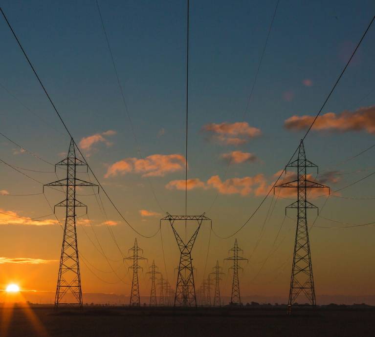
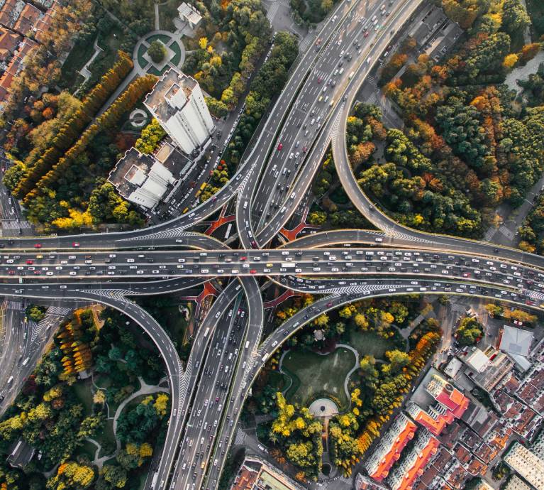
Infrastructure Targets
Road & Highway Scanning
Capture road geometry, alignments, elevations, and surrounding assets for design and upgrades.
Bridge & Flyover Scanning
High-accuracy capture of structural elements, clearances, and geometry for inspection and rehabilitation.
Utility & Corridor Scanning
Capture pipelines, transmission lines, drainage systems, and utility corridors.
Railway Scanning
Detailed scanning of tracks, stations, and corridors for maintenance, expansion, and modernization.
Tunnel & Underground Scanning
Scan tunnels, subways, and underground utilities with precise spatial data.
Topographic & Terrain Scanning
Generate detailed terrain models and surface data for planning and analysis.
Why Clients Choose Our Scanning Services
High-Accuracy Large-Scale Capture
Accurate data collection across long corridors and complex sites.
BIM & GIS Integration Ready
Point cloud data compatible with BIM and geospatial workflows.
Reduced Survey Time
Faster data capture compared to traditional surveying methods.
Comprehensive Asset Mapping
Capture of all visible infrastructure elements and surroundings.
Safe Data Collection
Minimizes field risks in high-traffic or hazardous environments.
Reliable Data for Design & Analysis
Supports planning, design validation, and asset management.
Industries We Serve
Transportation
Roads, highways, railways, metro systems
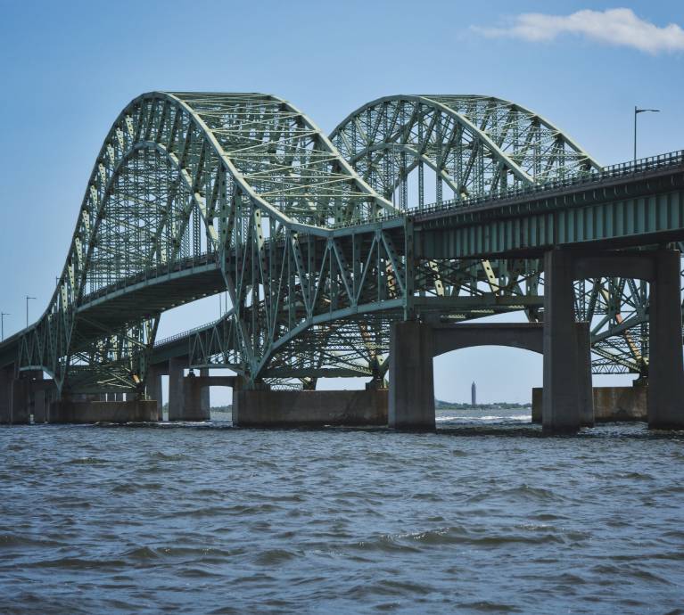
Bridges & Structures
Flyovers, overpasses, bridges
Utilities
Water, sewer, power, and telecom networks
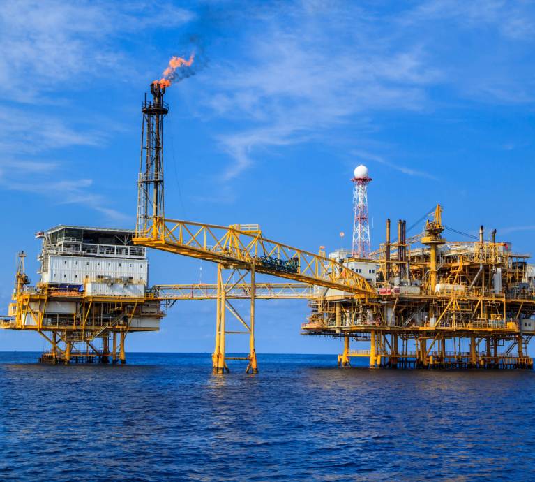
Oil & Gas
Pipelines and industrial corridors
Public Infrastructure
Airports, ports, and terminals

Smart Cities
Urban infrastructure and asset mapping
Our 3D Laser Scanning Workflow
01
Project Requirement Review
Review:
• Infrastructure type and scope
• Accuracy requirements and deliverables
02
Scan Planning and Control Setup
Plan:
• Scanning routes and positions
• Control points and geo-referencing strategy
03
On-Site Data Capture
Capture:
• High-density point cloud using terrestrial/mobile scanners
• Corridors, structures, and terrain data
04
Point Cloud Registration & Geo-Referencing
Process:
• Align scans into a unified coordinate system
• Apply geo-referencing using survey control points
05
Point Cloud Cleaning & Segmentation
Refine:
• Remove noise and unwanted elements
• Segment data into corridors, assets, and zones
06
Data Validation & Quality Check
Verify:
• Accuracy and alignment
• Completeness of captured data
07
Final Data Structuring & Delivery
Organize:
• Geo-referenced point cloud datasets
• Project-based structured outputs
Deliverables
- Geo-referenced point cloud data (.E57 / .RCP / .LAS)
- Corridor and infrastructure scan datasets
- Topographic surface models (if required)
- Scan reports and accuracy documentation
- BIM/GIS-ready data for modelling
- 2D drawings and profiles (.DWG / .PDF)
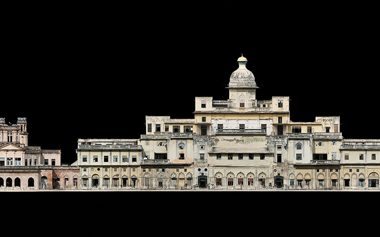
Featured Success Story
Frequently Asked Questions
Infrastructure laser scanning captures highly accurate 3D spatial data of roads, railways, bridges, tunnels, and utilities using advanced LiDAR technology.
We scan highways, railways, bridges, tunnels, pipelines, utility corridors, industrial facilities, and public infrastructure with high-density point cloud technology.
LiDAR delivers fast, precise, and reliable data capture for complex infrastructure projects, reducing survey time and improving planning and design accuracy.
Yes, captured point cloud data integrates seamlessly into BIM and GIS platforms for modelling, coordination, asset management, and digital twin development.
Yes, we use terrestrial and mobile LiDAR systems for efficient large-scale corridor scanning and high-accuracy infrastructure data collection projects.
Our scanning workflows deliver highly accurate geo-referenced datasets suitable for structural analysis, engineering validation, infrastructure upgrades, and maintenance planning.
Yes, advanced scanning methods minimize on-site risks while safely capturing active railways, underground tunnels, and hazardous infrastructure environments accurately.
We provide structured point cloud datasets and outputs compatible with BIM, CAD, GIS, and infrastructure asset management software platforms.
Yes, laser scanning significantly accelerates field data collection compared to traditional surveying methods while maintaining exceptional infrastructure accuracy levels.
Yes, all scans are accurately aligned and geo-referenced using established survey control points for reliable infrastructure planning and coordination.
Need accurate infrastructure data for planning or design?
Share your project scope or corridor details.
We will provide a clear scanning strategy, timeline, and deliverables.
Headquarters
Rajkot Office
Nr. Shreeji Gau Shala, B/h Tulip Party Plot
Premvati, Vavdi, Rajkot – 360004
India
Vadodara Office
Tarsali – Danteshwar Ring Road
Vadodara – 390009
General Inquiries
© 2026 Fibrox 3D. All rights reserved. | Developed by SkyWebTech