
Drone Surveying
UAV mapping/Drone Surveying
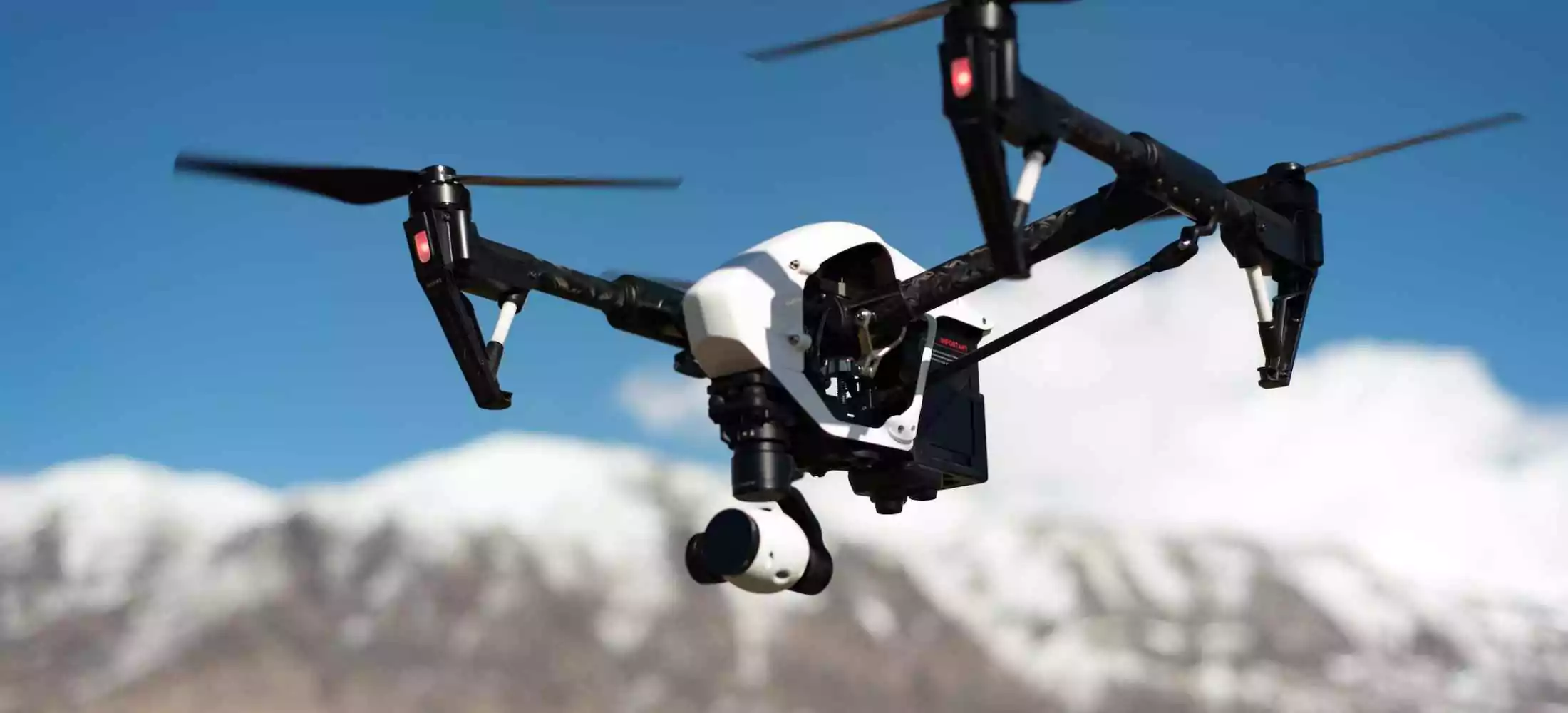
UAV mapping is carried out using drone surveys, which are well-equipped with RGB cameras, multispectral cameras, and other useful components. By using a UAV mapping system, the UAV is required to collect data from inaccessible places. Drone surveying is a lot more cost-effective technique to gather data and helps to receive accurate data in a digital format.
For any sector, Fibrox3D's extensive line of drone surveying equipment offers faultless solutions. Our goal is to give our clients the highest level of happiness while benefiting them with a product that fits their needs.
Industrial Application of UAV mapping
- The collection of data has become simpler for companies thanks to UAV mapping's cutting-edge technology and contemporary solutions. However, the following are some uses for it:
- It is applicable to both building and agriculture.
- Disaster management may make advantage of UAV mapping.
- It may be used for general exploration of an inaccessible area, and UAV mapping has uses for environmental monitoring.
- It may be applied to analyse geographic information systems and facilitate thorough data collection for experts.
Benefits of UAV Aerial Mapping
Unmanned aerial vehicles (UAVs) can cover more ground during a survey than human aircraft. It shortens the surveying process and indicates reliable facts. Additional advantages of the UAV mapping technology include:
- It is a low-cost and efficient product that helps in collecting data smoothly.
- The pilot is at low risk as it is a safer method.
- It provides accurate data.
- It helps in reducing noise pollution.
- The pilot is aware of the situation while conducting a drone survey.
In conclusion, it can be claimed that the drone market in India is still a young one, and Fibrox3D offers the finest drone aerial surveying and surveying solution. Our business is happy about disseminating new technical developments and consistently offers you new items. We also provide 3D and 2D scanning items for your consideration in addition to UAV mapping goods.