
Mobile Mapping
Mobile Mapping Services
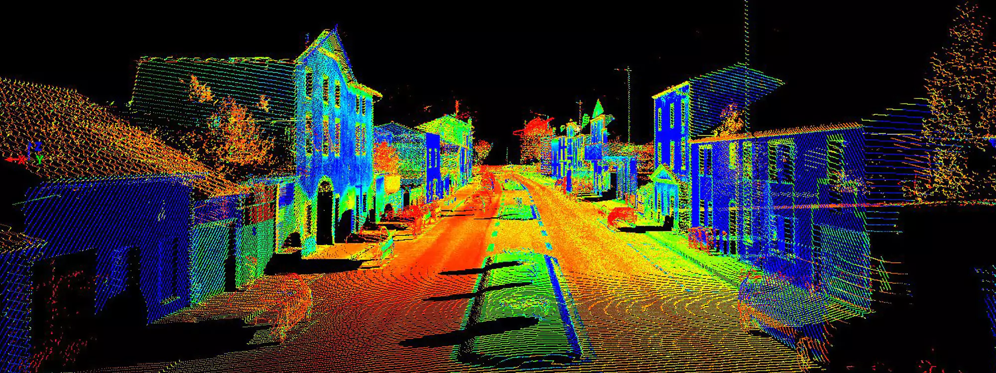
Geospatial data collection from a moving vehicle or, UAV called as Mobile mapping. With a wide variety of remote sensing technologies, including GNSS, camera, radar, laser, LiDAR, and others. GIS data, video, georeferenced photos, and digital maps are all examples of this.
Fibrox3D provides mobile mapping services for significant rail and road projects. To more accurately understand subsurface and undersea structure, map urban areas, and increase safety in power infrastructure and plants all throughout the world.