
Drone Surveying
UAV Mapping/Drone surveying services in Gujarat
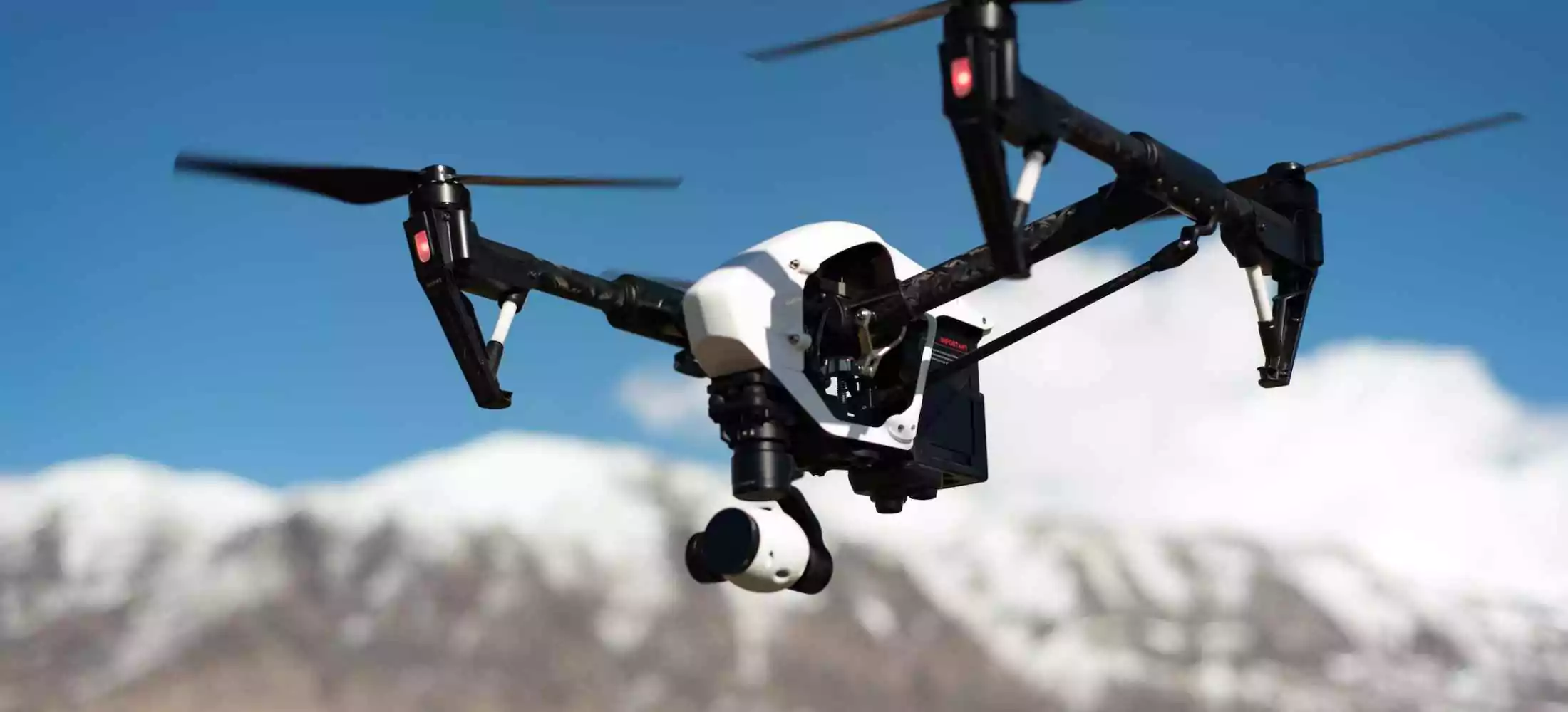
UAV mapping is carried out using drone surveys, which are well-equipped with RGB cameras, multispectral cameras, and other useful components. By using a UAV mapping system, the UAV is required to collect data from inaccessible places. Drone surveying in india is a lot more cost-effective technique to gather data and helps to receive accurate data in a digital format.
For any sector, Fibrox3D's extensive line of drone surveying equipment offers faultless solutions. Our goal is to give our clients the highest level of happiness while benefiting them with a product that fits their needs.
Industrial Application of UAV mapping
- The collection of data has become simpler for companies thanks to UAV mapping's cutting-edge technology and contemporary solutions. However, the following are some uses for it:
- It is applicable to both building and agriculture.
- Disaster management may make advantage of UAV mapping.
- It may be used for general exploration of an inaccessible area, and UAV mapping has uses for environmental monitoring.
- It may be applied to analyse geographic information systems and facilitate thorough data collection for experts.
Benefits of UAV Aerial Mapping
Unmanned aerial vehicles (UAVs) can cover more ground during a survey than human aircraft. It shortens the surveying process and indicates reliable facts. Additional advantages of the drone mapping technology include:
- It is a low-cost and efficient product that helps in collecting data smoothly.
- The pilot is at low risk as it is a safer method.
- It provides accurate data.
- It helps in reducing noise pollution.
- The pilot is aware of the situation while conducting a drone survey.
In conclusion, it can be claimed that the drone market in India is still a young one, and Fibrox3D offers the finest drone aerial surveying and surveying solution. Our business is happy about disseminating new technical developments and consistently offers you new items. We also provide 3D and 2D scanning items for your consideration in addition to UAV mapping goods.For drone mapping in Vadodara, Fibrox3D stands ready to deliver precise and reliable aerial mapping services tailored to your needs.
FAQs
Drone surveying captures aerial data quickly, helping document large sites, structures, and hard-to-reach areas safely and efficiently.
Drones collect high-resolution images and data, enabling accurate mapping, measurements, and visual records of site conditions.
Yes, drone surveys help track progress, validate work, and monitor changes throughout construction phases.
It reduces the need for manual access to hazardous or elevated areas, minimizing safety risks during surveys.
Drone surveys are ideal for heritage sites as they capture detailed data without physical contact or structural disturbance.
Drone photogrammetry delivers reliable accuracy for mapping, volume calculations, and documentation when supported by ground control.
Deliverables include orthomosaic maps, 3D models, point clouds, elevation data, and inspection visuals.
Drones cover large areas quickly, reducing survey time and costs compared to traditional ground-based methods.
Yes, drone data integrates seamlessly with BIM and GIS platforms for planning and analysis.
Drone surveying is faster, safer, and more cost-effective for large or inaccessible sites.