
Aerial & Terrestrial Photogrammetry
Photogrammetry
Aerial Photogrammetry
Fibrox3D’s Photogrammetry team utilizes large-format digital imagery and ground coordinate information to effectively recreate the geometry of a portion of the earth in a virtual environment. In this virtual environment, reliable horizontal and vertical measurements can be made and recorded (or compiled) directly into a CAD and then to geospatial data file.
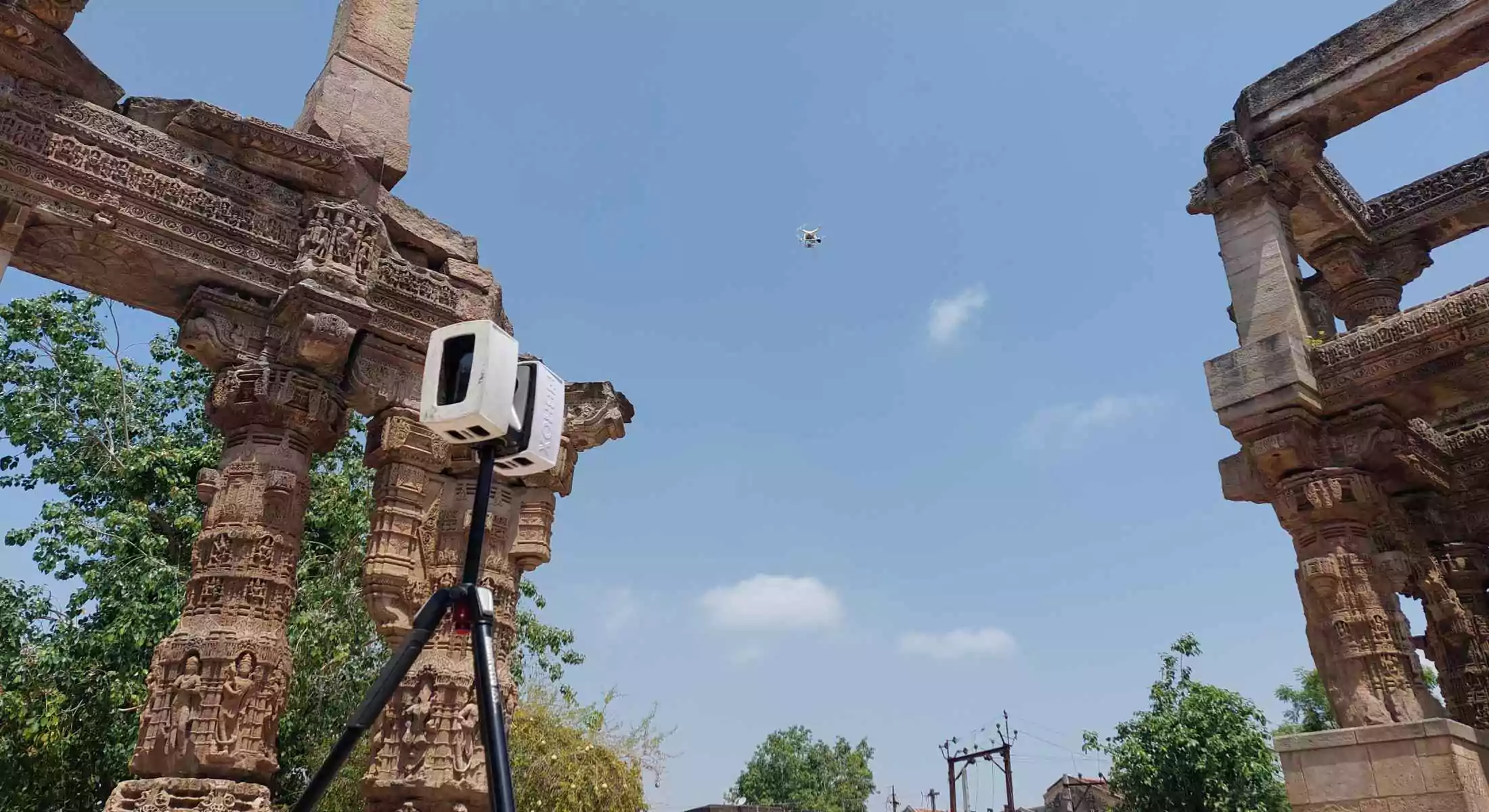
Terrestrial Photogrammetry
In this type, the photographs are taken from elevated ground stations. Further development of these photographs will take into account the elevations of camera and tilt of the axis of photograph. This method is very similar to previous one except that the camera is in stationary position.
We, at fibrox3d, have the expertise and skills in providing services as follows:
- Aerial Triangulation & Adjustment
- Stereo-Compilation
- Digital elevation/Surface Model (DEM /DTM)
- Contour mapping and Cross-Sections
- Topographic and Cadastral mapping
- Topographical Mapping
- 3D Building and Structure Modelling
- Airport mapping
- 3D planimetric feature extraction
- Land use/Parcel Mapping
- Orthorectification
- QA/QC Analysis
FAQs
Photogrammetry creates 3D models and measurements from photographs, supporting documentation, mapping, and visualization tasks.
Photogrammetry provides good accuracy for visible surfaces, making it suitable for architectural and heritage documentation.
Photogrammetry is ideal for visual detail and texture capture, while LiDAR is preferred for high-precision industrial surveys.
Yes, photogrammetry supports large-area mapping using drone or ground-based imagery efficiently.
It captures fine architectural details and textures needed for accurate restoration planning.
Architecture, heritage, construction, mining, infrastructure, and surveying benefit from photogrammetry applications.
Yes, photogrammetry outputs can be converted into CAD or BIM-ready formats for further use.
It captures extensive data quickly using images, reducing repeated site visits and manual measurements.
Deliverables include 3D models, textured meshes, orthophotos, point clouds, and measurement reports.
Photogrammetry depends on lighting and visibility and may be less effective in highly congested or enclosed environments.