
Smart City Modelling
Smart City Modelling
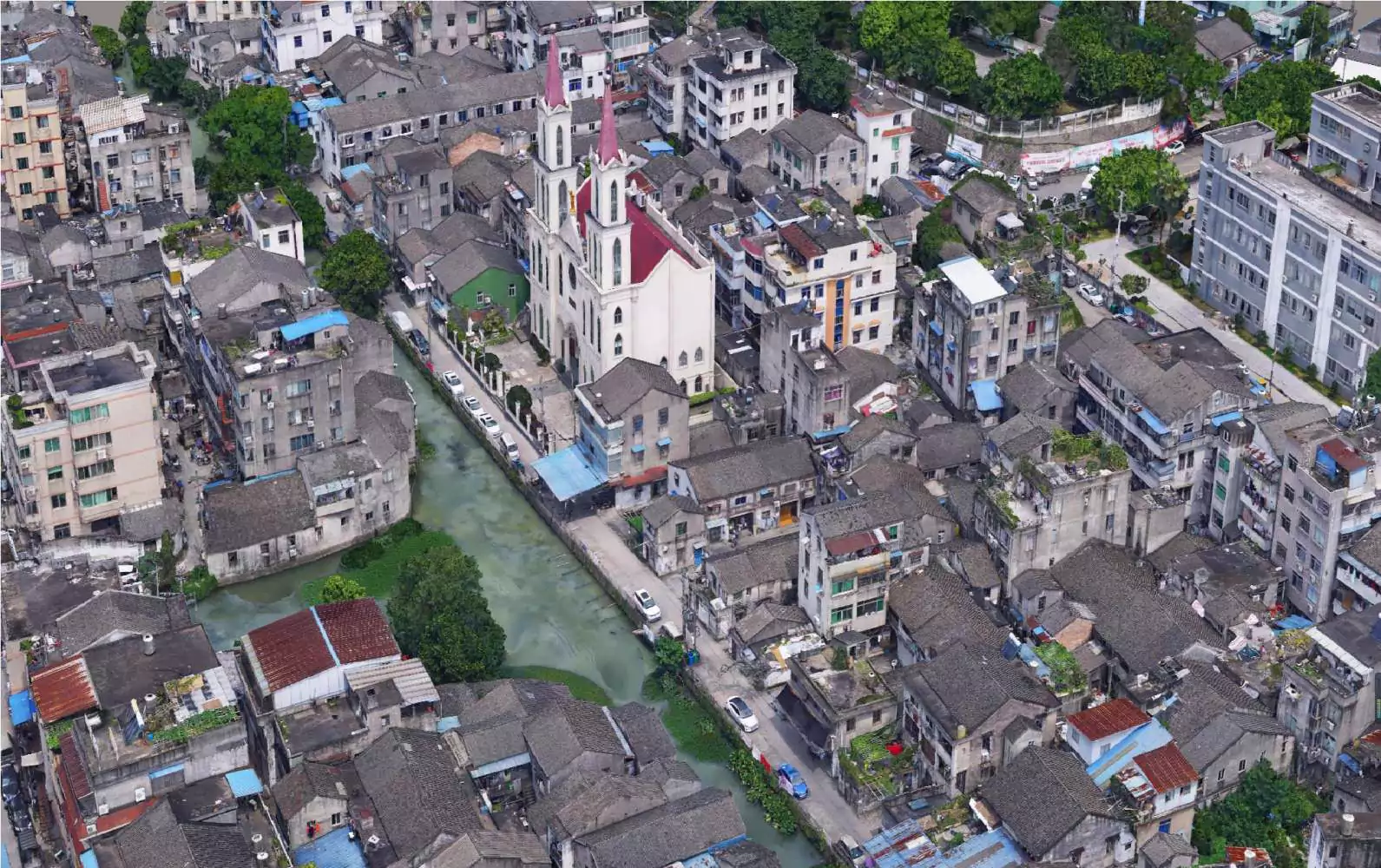
A smart city is an urban region that gathers data using various technological instruments and sensors. Insights from that data are utilised to effectively manage resources, services, and assets; in turn, that data is used to enhance operations throughout the city.
Based on the size and amount of detail that you demand for your application, Fibrox3D offers both digital and physical 3D city models.In many different contexts, 3D city models are employed. They aid in making it easier to recognise the present location during navigation. They are essential to the map's ability to depict future appearances, such as through estimating gaps.
FAQs
It’s creating digital 3D models of cities for planning, infrastructure management, and urban development analysis.
It visualizes roads, utilities, and buildings digitally, supporting data-driven decisions and future expansions.
Yes, IoT sensor data can overlay on models to monitor traffic, utilities, and environmental conditions in real time.
Absolutely, models help simulate scenarios like floods or traffic congestion for effective planning and mitigation.
Yes, they track energy use, green spaces, and emissions to optimize urban planning for sustainability.
Yes, interactive 3D models allow citizens to visualize projects and participate in decision-making.
GIS, BIM, LiDAR, photogrammetry, and IoT data are combined for accurate and dynamic urban models.
Yes, digital twins track asset conditions, schedule maintenance, and prevent service disruptions efficiently.
Yes, integrating sensors allows live tracking of traffic, air quality, and utilities for data-driven governance.
Absolutely, they simulate growth, transport, and energy demands, helping plan sustainable, efficient cities.