
- Drones have become an advanced technology in some limited sense to address those historic issues related to urban planning, the mapping of infrastructure, and real estate.
- Currently, there are examples in various states undertaking land surveys using drones, which show the reputable accuracy of land surveys for organizations in the public and private sectors.
- Drones can collect data accurate to about a centimeter thanks to GPS and other advanced imaging mechanisms.
- Compared to traditional methods of surveying, where minor inaccuracies can trigger huge legal and financial repercussions, accuracy with drones far exceeds the accuracy obtained by traditional surveying methods, and at speed.
- 1. Residential and Commercial Site Surveys:A drone survey will provide accurate measurements, topographic information, and contours of the site for a gated community or a high-rise commercial building before the first brick is laid.
- 2. Smart City Infrastructure:India will develop more than 100 smart cities, and drones are being used to map the roads, sewers, electrical grids, and more. Using aerial maps to collect and verify the existing conditions also avoids problems in planning and promotes more efficient urban infrastructure.
- 3. Property Due Diligence and Valuation:To a purchaser and a lending organization, aerial inspection carried by drone can encourage an educated, viable vision of the physical circumstances of a building or floor plan. Drone surveys help avoid legal disputes and give confidence to all the parties involved.
- 4. Marketing and Sales:Drone Surveying for Real Estate companies creates more enriching marketing content. Bird's-eye video of high-end properties or large townships allows future buyers to see layouts and surrounding areas before engaging in personal exploration.
- Accuracy is Paramount:Similarly to industrial 3D scanning, drone surveying delivers millimeter and centimeter accuracy, which is important in both real estate and industrial lidar 3d scanner processes.
- Data Addition:Adding drone survey data into CAD or BIM software can develop a real-world, outlined building plan similar to the prototyping in industrial 3D scanning.
- Safety and Accessibility:Just like 3D scanners, drones can assess grueling locations and lessen the number of unsafe manual inspections necessary to inspect up close when site conditions and someone's life are on the line.
- Efficiency Improvements:Both industry performance technologies are adopted to provide improved workflows, remove reworking, and operationally to remove the Human aspect, and human error.
- A pilot license will not be required when drones with payloads under 2kgs, are flown in green zones.
- Drone mapping applications for documenting land records and urban planning projects are in demand.
- Projects must comply with geofencing protocols and No Permission No Takeoff (NPNT) requirements.
- Regulatory Delays:Despite the relaxed norms, the process of securing clearances for drone use in sensitive zones(e.g., near airports and defence locations) is a bottleneck.
- Skill Gaps:Using a drone is easy, but analyzing the data you have captured is not. The sector still has a shortage of qualified drone pilots and GIS analysts, knowledgeable about the application of GIS to real estate.
As the real estate market in India is embarking on a transformation, developers and planners alike are investing in technology to stay cutting-edge and relevant. And one of the alternatives to traditional surveying methods that has probably made the largest impact on how land is mapped, monitored, and managed is Drone Surveying for Real Estate.
As demand for urban and rural developments that require fast, accurate data rises, drone surveying will become the new norm for property developers, architects, and drone surveying in india.
The Rise of Drone Surveying in India
In the last decade, there has been an increase in drone surveying in India, laboriously initiated by the government in its push for the digitalisation of land records, with drone surveying now part of the country's Smart Cities programme.
Such as The “SVAMITVA scheme,” by the Ministry of Panchayati Raj, is the prime example of using drones to carry out the mapping of inhabited lands in rural areas for land ownership records to individuals.
What is Drone Surveying?
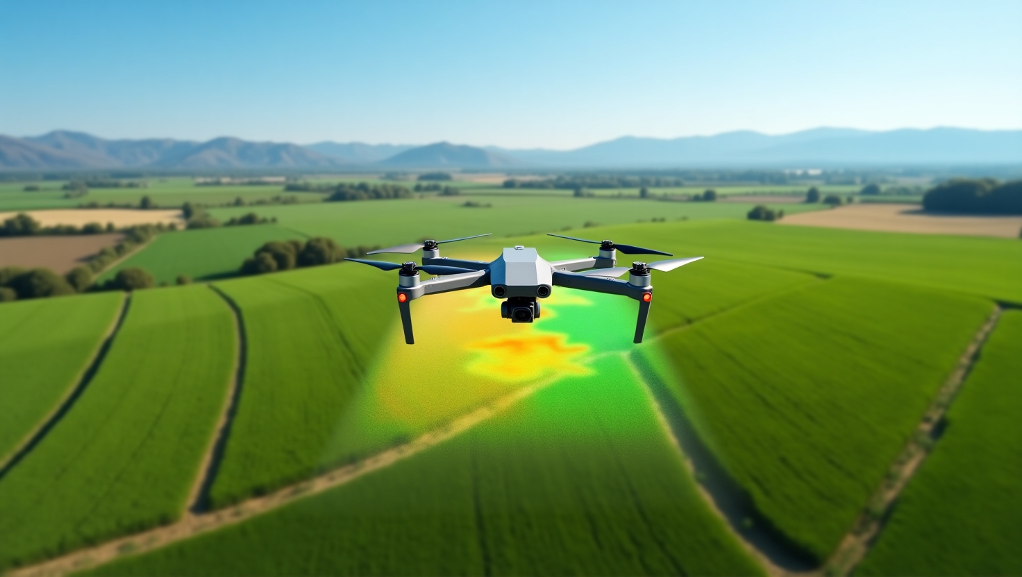
Drones used for Real Estate Surveys, known as Unmanned Aerial Vehicles (UAVs), are flown by a drone operator and equipped with high-resolution cameras, LiDAR or photogrammetry hardware, and software to create high-precision images or spatial data of a site. The images and spatial data are processed to create 2D maps, 3D models, and/or digital elevation models (DEMs), providing the most comprehensive understanding of the land.
Benefits of Drone Surveying for Real Estate Projects
1. Accuracy that Saves Millions
When doing land acquisition, performing construction design, and for zoning compliance, accuracy is critical.
2. Quicker Data Collection
Drones can collect geographic data on huge parcels of land in a matter of hours as opposed to potentially taking days or weeks using manual methods. This means for real estate developers on timelines, the speed affords weeks of acceleration to project timelines and accelerated time to market.
3. Clear 3D Maps/Models
Drones provide 3D models of the land, which help architects and civil engineers to visualize how the structure will engage with that land and assist with design deliberations. These models assist with doing quality design work, help articulate elevations, and help visualize flooding or drainage patterns.
4. Cost Effectiveness
Land surveying in the conventional sense, with a surveyor examining a property, attending a designated spot, packing equipment, traveling time, and long hours of work, is expensive!
Drone surveying in India is far cheaper in the long run. Developers have the ability to minimize labour, considerably lessen their travel, and eliminate costly errors that lead to time delays and project overruns.
5. Project Monitoring
There is more than just surveying with drones. As mentioned previously, there are time-lapse videos created, and projects can show current site progress compared to the plans. This provides a level of transparency, especially when there are multiple contractors or you are reporting to investors and clients.
Drone Surveying Use Cases in Indian Real Estate
How Drone Surveying Aligns with Best Practices for Industrial 3D Scanning?
Regulatory Environment in India for Drone Surveying
The new Drone Rules 2021 signify an enormous shift in the way India has been treating drone regulations. Here’s a short list to pique the interest of real estate practitioners:
Companies conducting commercial real estate drone surveys will be able to register the drone, engage certified operators, and maintain the data consistent with DGCA practices.
Challenges and their outlook
Conclusion
The Drone Surveying for Real Estate is altering the real estate paradigm in India because of the speed, precision, and low cost it provides. It enables the developers to make evidence-based decisions, eliminate any legal implications, and deliver more useful construction processes and results.
Interested in bringing the podrones and onesand 3D scanning solutions to your next real estate or industrial build? Fibrox3D offers highly sophisticated drone surveying, industrial 3D scanning and BIM services, and is unmatched for overall accuracy.
Contact us today to take your project planning to the next level with cutting-edge technology - precision begins with the right partner.
Read More: 5 Best Practices for Industrial 3D Scanning in Quality Control