
- Acquire High-Resolution Data Rapidly:There is centimeter-level accuracy about the data acquired using drones which makes it precise in mapping.
- Access Remote Locations:Drones can reach remote locations with ease and capture images. Also, it is not possible to send human beings in some locations due to security reasons. In such places, drones will be highly effective.
- Make Real-Time Monitoring:Decision makers can see improvement progress in real-time, rather than reading months-long reports.
- Agriculture:Accurate statistics on land use, infrastructure planning, fast disaster management data.
- Construction & Infrastructure:Progress tracking, accurate volumetric measurements, and 3D site visualization for better project management.
- Mining:Habitats mapping, pollution monitoring, and erosion monitoring for sustainability.
- Urban Planning:Land use analysis, infrastructure design, and rapid disaster management insights.
- Environmental Monitoring:Habitat mapping, pollution detection, and erosion tracking for sustainability.
- The trend of growth in the field of agriculture
- Weaknesses in the structures of buildings
- Energy heat maps
- Urban flood analysis
- Weather Dependence:Earthquakes may interfere with the operations of drones in terms of flight and data harvesting.
- Data Security:Is the security of sensitive information well-stored and processed under competent cybersecurity?
- Initial Investment:Though it saves money in the long term, it is quite costly to set up initially and train them.
- Autonomous Drones:The drones that are fully automated and able to complete self navigation and gathering data.
- Integration with IoT and AI:Drones used in collaboration with sensors and intelligent systems in order to make decisions in real-time.
- Cloud-Based Mapping Solutions:Allowing to work on a project using drone data in a remote team across the globe.
- Regulatory Support:As change in policies to enhance drone usage comes in, businesses will less have an uphill task switching into it.
In the modern competitive business environment, evidence-based business choice is what will ensure one of an edge. Common survey, monitoring, and information gathering techniques can be tedious, expensive, and error-prone.
Here is where drone mapping services have come as a breakthrough. Companies in every industry are now learning how the technologies can convert raw data into digestible insights that advance efficiency, minimize costs, and stimulate innovation.
This article will look at How Drone Mapping Services revolutionize, how organizations do business intelligence, their advantages, ways of use, and the potential they hold.
What Are Drone Mapping Services?
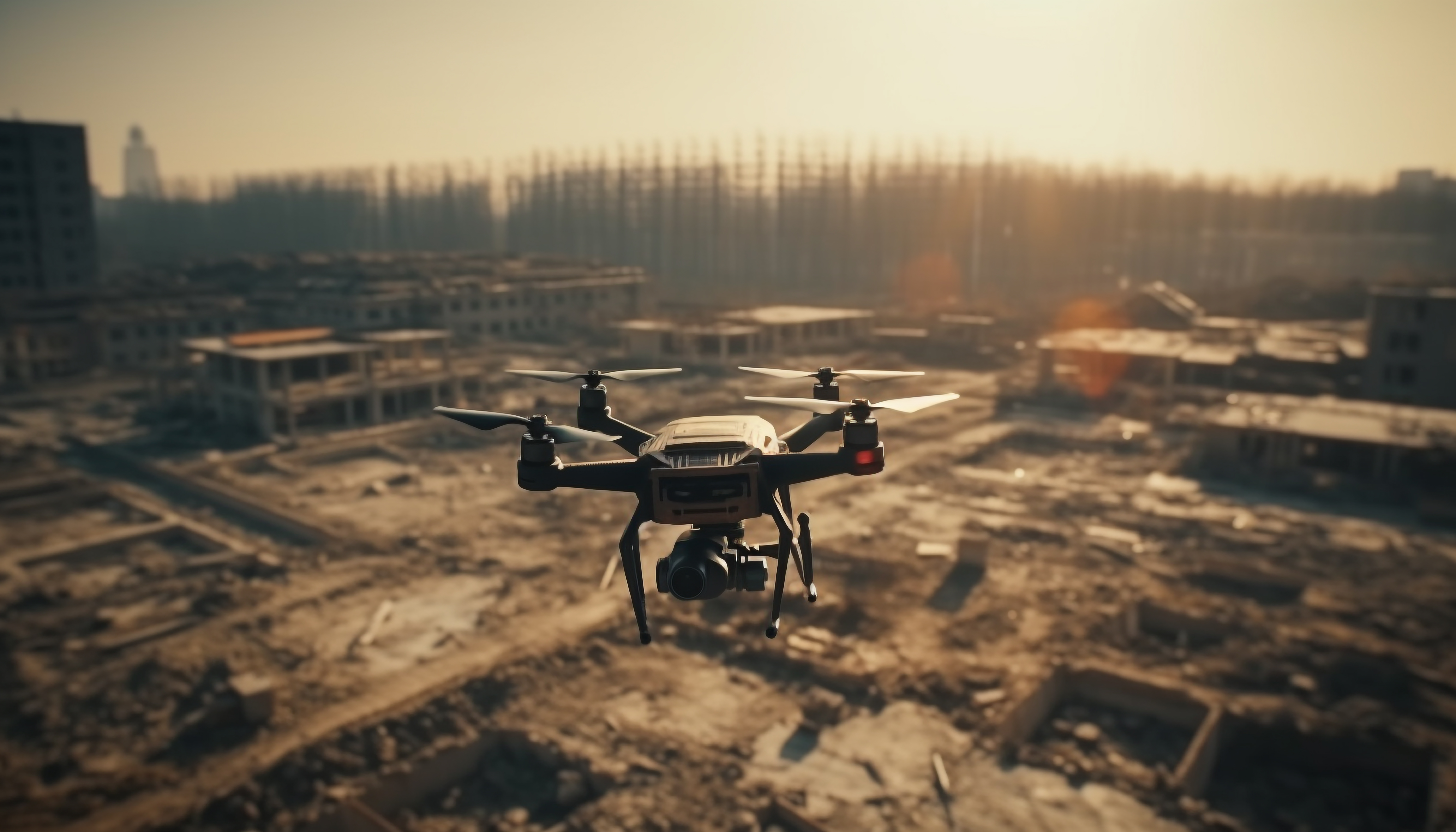
Drones mapping services are services use high-tech cameras, LiDAR, and GPS-equipped drones to provide aerial imagery and even 3D maps of a landscape, infrastructure, and assets. This is collected into high-res digital maps, 3D models, and analytics by specialized software.
Instead of weeks as compared to the surveying process, drones give precise geospatial data in hours with a minimal workforce. This productivity lies behind the reason why drone mapping is becoming a necessary tool for modern-day businessmen.
How Drone Mapping Services Revolutionize Data Collection?
Among the strongest benefits of drone mapping, the fact that it simplifies and improves the process of data collection has to be mentioned.
Traditionally, a field team would invest days or weeks in a manual survey of the land or infrastructure. Not only did this cause delays in the projects, but it also elevated the chances of human error.
Businesses can use drones to:
\This transition proves How Drone Mapping Services Revolutionize started processes, which in manpower were days, to what now only takes hours.
How Drone Mapping Services Revolutionize Industry Insights?
The Role of Analytics in Drone Mapping
Although drone technology allows getting imagery and 3D models, the key aspect is analytics. Automated data solutions analyze information gathered on a drone, which presents insights such as:
When artificial intelligence and machine learning are incorporated into drone mapping, business owners can create forecasts, automated reporting, and predictive decisions.
This is in fact, the key accelerator of How Drone Mapping Services Revolutionize business intelligence.
Benefits of Drone Mapping Services
In addition to being used to support certain projects, the overall value of the drone mapping services is what causes organizations to invest in it strategically.
1. Cost Efficiency
Traditional surveys are associated with costly instrumentation and labour-intensive performance. Drones help cut the cost of these tasks by a large margin because it functions more effectively and less time consuming.
2. Enhanced Accuracy
Current drones with GPS and LiDAR have geospatial records or data that cannot be touched by modern technology in regard to precision and accuracy in order that businesses make proper decisions.
3. Risk and Safety Reduction
Rather than putting employees in dangerous locations like mines, rooftops or industrial zones, drones can accomplish the task in a hazardous-free environment.
4. Time Savings
In what used to take weeks, it takes hours now. Quicker laser mapping leads to a quicker selection of an act, important in an industry such as building and agriculture.
5. Scalability
Small and large projects, such as small farm or big urban development, can be mapped using drone mapping services as appropriate.
These benefits demonstrate How Drone Mapping Services Revolutionize the business experience of looking at data-it becomes a strategic tool to drive business growth.
Challenges to Consider
Although drone mapping is of great advantage, it has the limitations:
Regulatory Restrictions: There are countries that have strict legislation on the use of drones, and this can slow down operations.
Being able to defeat these hurdles allows the companies to get the full potential of drone mapping services without having to risk compliance and security.
Future of Drone Mapping Services
The future is only promising on the number of drone mapping services. Industry reports indicate the global drone mapping market will grow at a high rate over the next ten years as more and more commercial sectors begin to use the technology.
Developments likely to come in the future include:
Such innovations will keep on showing Why Drone Mapping Services Transform How Institutions Work to become more nimble and data-led.
Conclusion
With the current digital transformation achieved in the modern age, information is more valuable than ever before. Drones have found a new life far beyond leisure use to important business assets.
They can be seen in the construction and agriculture sector, mining sector, and many others where their effect is definitely that of 'incontrovertible impact'.
Learning about the drone mapping services and How Drone Mapping Services Revolutionize, you will find out their strength in transforming data collection, safety, cutting expenses, and making better decisions.
The future of drone mapping services is bright as the services get more innovative with continued developments in the field of AI, automation, and analytics.
Read More: How is 3D Laser Scanning Helping Effective Heritage Documentation?